Greer Images is the leading provider of aerial photography in Kentucky. We combine technical expertise and creativity to get your property sold.
The process is quick, easy, and simple: during your consultation, we will ask you a few questions, then we get to work photographing your property. After filming, the media is emailed to you within 48 hours.
Send us basic information about your property, including any features of the listing that you would like to be highlighted.
On the scheduled day, we arrive to film. The process takes approximately one hour; no contact or direct property access is required.
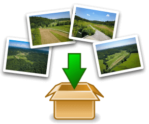
You receive a link from us to download your photos and videos. Use them in your marketing materials and get your property sold!
Our most popular package offers a video between 1-2 minutes in length and 15+ high-resolution photographs.
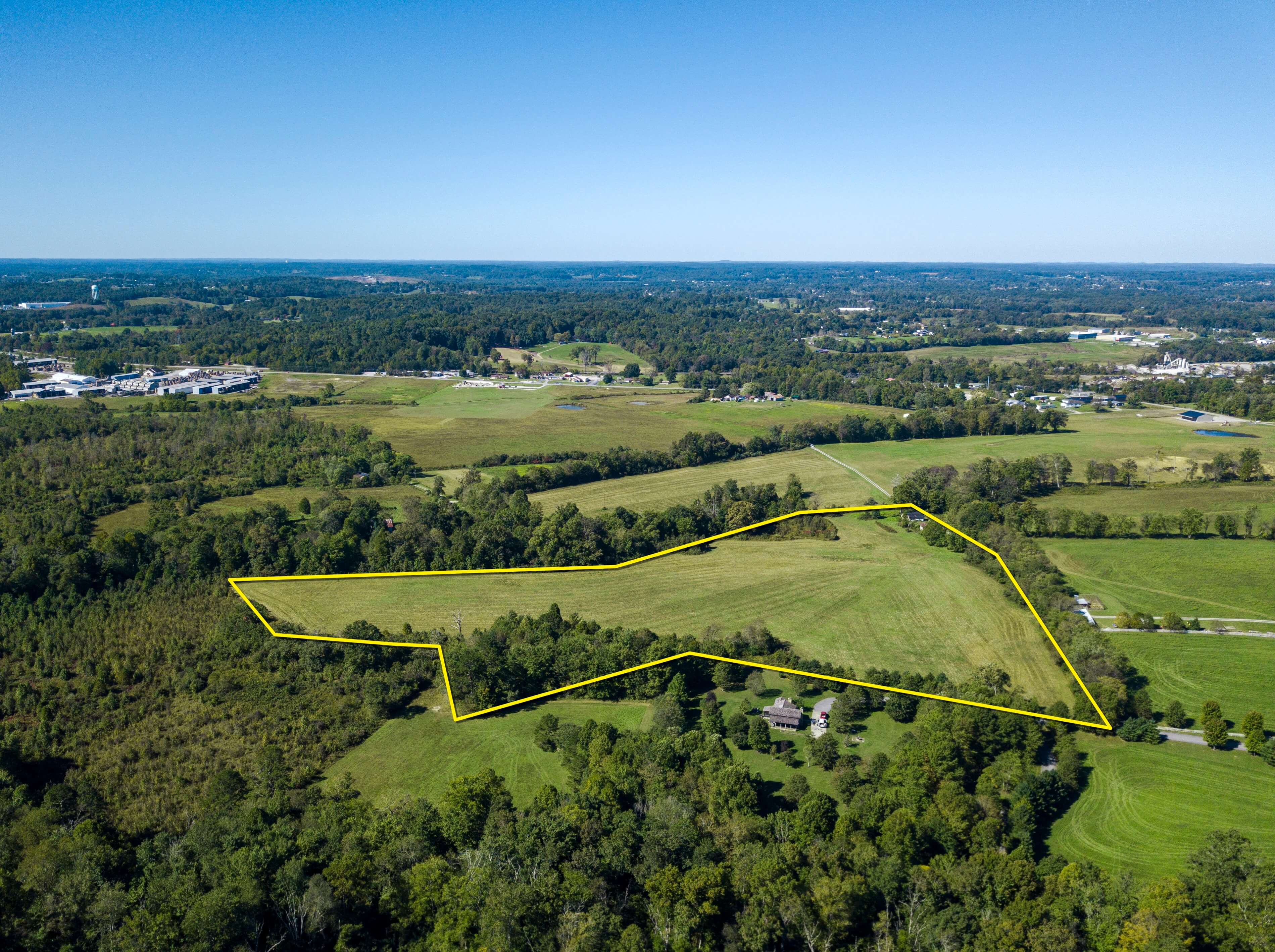
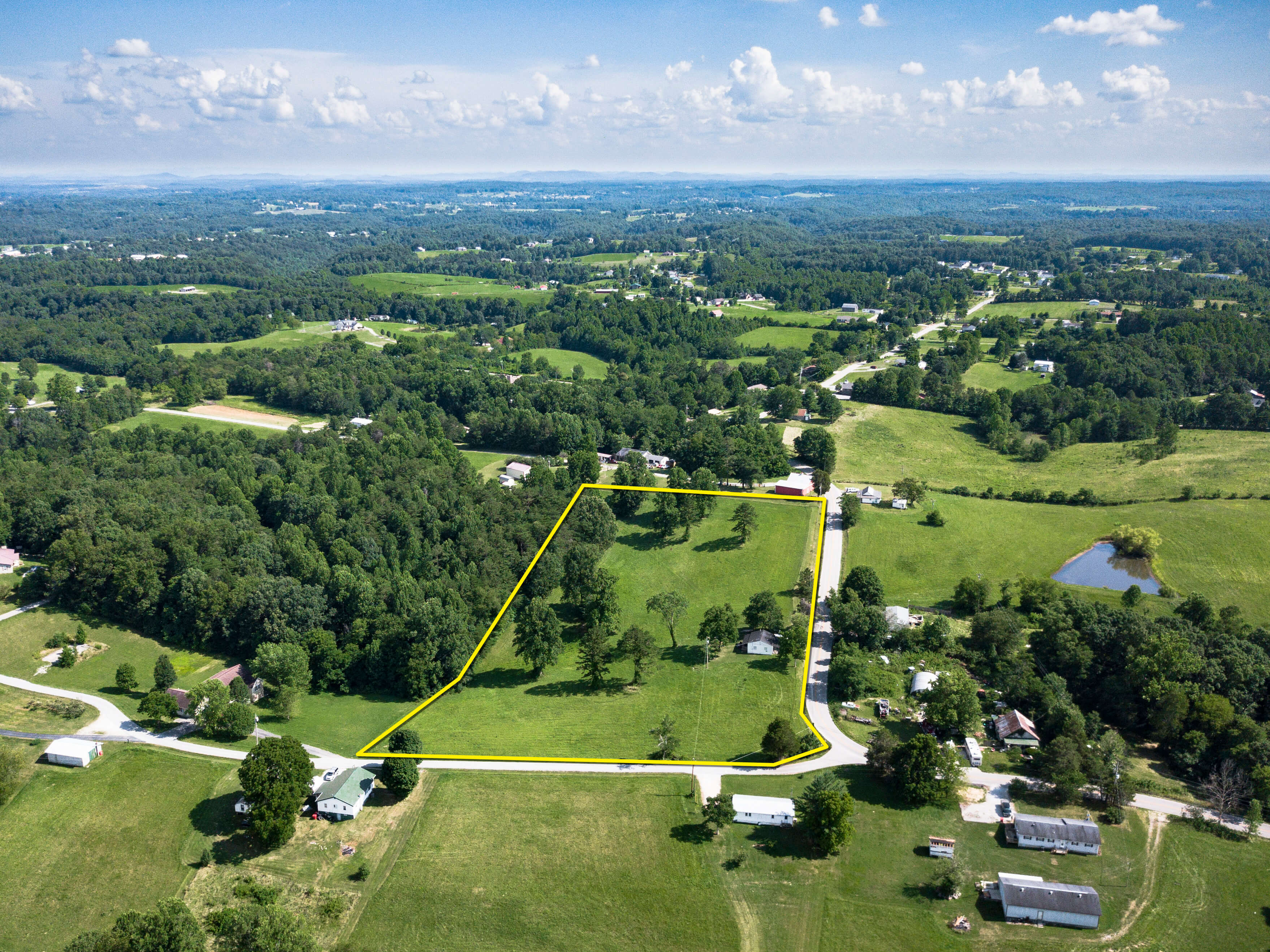
We utilize three-dimensional graphics to highlight property boundaries, showing buyers exactly what is available while complementing the land's geography and natural features.
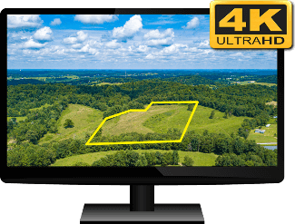
Videos are produced in 4K UHD (Ultra High-Definition) and professionally edited to licensed music. Title graphics are included to provide more information, and your corporate logo and contact details maximize your brand exposure.
Our high-resolution photography is color-graded using industry standard software for a unique, eye-catching appearance. Property boundary lines are included on three images at no additional charge, and every image is watermarked with your logo.
Image files are provided at a full 12 megapixels and can be used on websites or in printed materials.
Watch a sample video below for an example of a complete property video we delivered to a recent client.
As with all of our videos, it includes animated mapping imagery, three-dimensionally rendered property boundary lines, informative titles, and the client's logo and contact information.
Visit our YouTube channel for more videos.
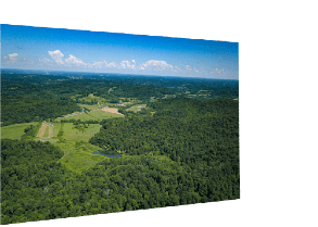
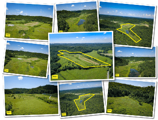
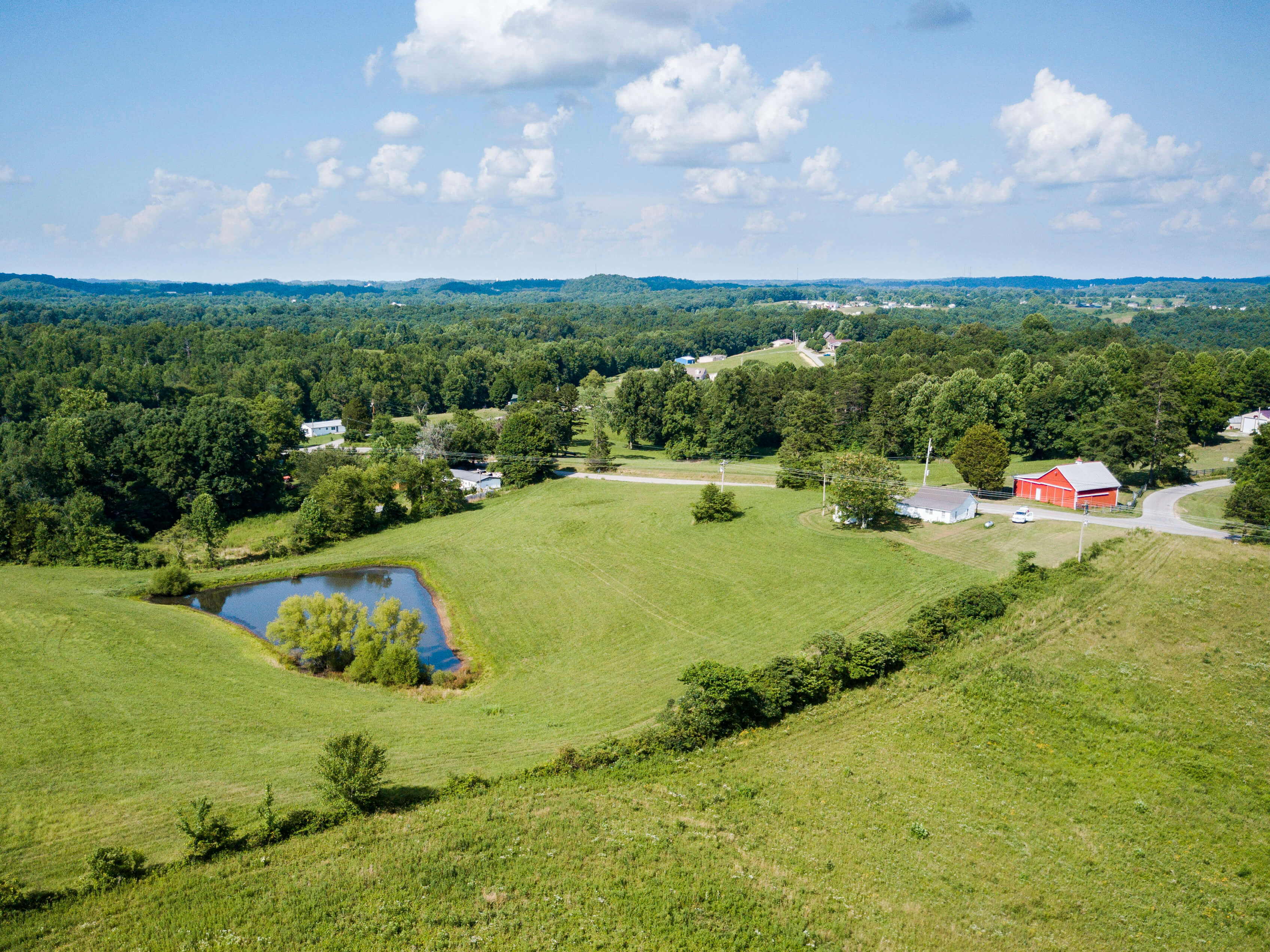
Three images with property lines are included in every photo package, along with at least 15 other images taken at various angles and altitudes.
Click any image to view in full resolution.


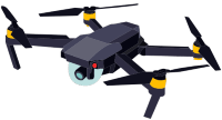
Greer Images is fully certified for commercial flights by the Federal Aviation Administration under FAA Part 107 unmanned aircraft regulations.
Safety and compliance with federal regulations is our top priority.
Get video and photos for your property now! Schedule your appointment using the form below or reach out with any questions you may have.